The scorching weather that is infesting the whole Greece, found me at Ioannina, due to some obligations. Without loosing any more precious time, on Sunday morning I decided to visit Zagorochoria, seeking for new destinations as also some shadow on the plan-trees of the area.
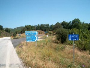
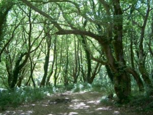
Following E90 for Kozani – Kastoria and after having traveled for about 42 km, I reached Kalpaki. This specific route is amazing, due the road surface and also due to the really nice turns, that make driving so enjoyable. I bypassed the junction for Kakavia and continuoued to the road for Kozani – Kastoria. After 4 km, I found a road sign for Aristi, Papigo etc. I turned right, leaving the national road, following the provincial road, which is right in between a truly magnificent natural landscape. The heat was bearable, due to the shadows that the plan-trees were creating. Whenever I was driving with the sun over me, I had the feeling that I was inside an oven!
After 10 km I reached Aristi. It’s a really nice vivid village with high tourism rates. There are guest houses, alternative tourism companies (eg. Rafting) and small cafe at the central square under the perennial plan-trees. I bypassed the village heading for Papigo, turning left on the main square and following the downhill road.
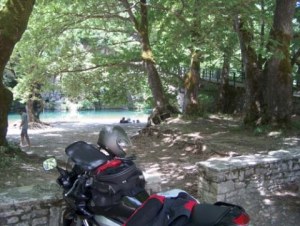
After 4-5 km I reached the bridge of Voidomatis. The river’s name means “Mother of Water” and derives from Voda (=water) + Mata (=Mother). There are rumors that it’s the coldest river of Greece. Nevertheless, I’ve met a couple of “daring” people, who decided to get into the river in order to cool themselves. I made a stop there to enjoy the landscape and chill out.
Returning to the road to Aristi, I met a road sign for Monastery of Panayia Spileotisa and the dirt road which was getting lost inside the plan-tree forest. Many times in the past I had bypassed this road sign saying to myself that I would visit it next time. I accidentally learnt on a traveling program on the TV that this monastery is considered a very good destination. After the last monks died, the monastery had been abandonded, but luckily enough, some people have renovated it. In spite of this fact, it’s deserted.
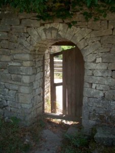
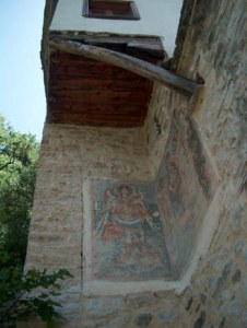
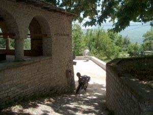
Following a drivable dirt road of approximately 400-500m I reached almost in front of the monastery, which is been built on a rock. It reminds me of a fort, due to the way it was built, side by side to the rocks. I entered the internal yard, walking through a wooden door. The building is in a very good shape and the efforts for its renovation can be sighted, without alternating its traditional elements. The hagiographies that are been drawn on the external wall, show the age of the monastery.
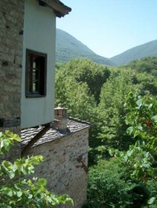
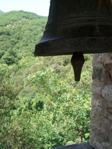
Aside the small wooden locked door of the monastery, I saw a path reaching the top of the rock, where the bell tower, built with stone, is. Without even thinking the tremendous heat, I followed the path. Once I reached the bell tower, I was “rewarded” for my sweat that was running like a river! The place was offering a magnificent panoramic view of the broaden area. Everything was green, except the blue water of Voidomatis.
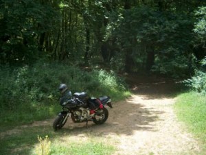
After a while I returned to my motorcycle, because I had the feeling that I was reaching the limits for dehydration. Luckily enough I had brought with me some water. I moved the bike and stood at a shadow under some plan-trees to rest a little bit.
A few minutes later, I started driving, heading towards Aristi. Once I reached the square, I turned left following the road signs for Monodendri, Vitsa. This road was been build 3-4 years ago. Prior to that, there was only dirt road. It’s considered of high importance, due to the fact that it joins 2 basic areas of Zagoria. On the previous years, if someone wanted to visit Monodendri, Tsepelovo, Kipous etc, he had to return to the national road and from there to re-enter to another provincial road.
I followed the route for 17 km passing through Vitsa, Kato Pedina, outside Monodendri, Elafotopo and Ano Pedina. At the main part of the route, you don’t meet so much sprouting. In any case, the view that some parts are offering is unique, due to their higher positioning.
Having as a guidebook only the road signs for Tsepelovo, I found myself over a central junction where on my right the road leads to Ioannina, and on my left side it leads to Tsepelovo, Kipous etc. Time was 12:30 pm and I had lots of appetite for exploration. I turned left in order to visit Koukouli (8km).
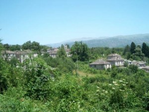
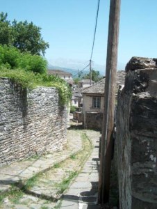
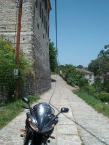
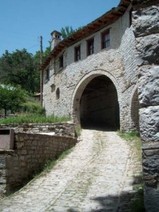
Approximately 1 km below, I met a sign for Dilofo (1km). I considered that it was a very good chance to visit it. My choice proved successful. This place is a very vivid and traditional village. The road stops on its entrance. From there and beyond you have to start walking if you want to explore it. The cobbled road makes you thing that you’re in a different era. At the main square there’s an old church. You can find also some cafeterias along with some guest houses.
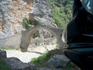
I returned to the main route and continioud for Koukouli. After 2-3 km I met the bridge of Kokoris, which I’ve already visited on my last trip to Epirus. Scenery was different. Instead of the sweeping waters, you could now see dry rocks … and it’s only 2 months since my last visit! Same as my last time, the imposing bridge was standing imperious, like a true charm of the local architecture!
Driving for 1-2 km I reached a junction. On my left side it was heading towards Tsepelovo, Skamneli, Laista and on my right side it was heading towards Kipoi, Fragkades, Leptokarya. At this point I would like to suggest that if you want to visit Koukouli, follow the right route (instead of the “modified” road sign).
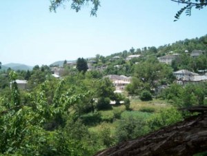
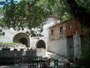
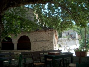
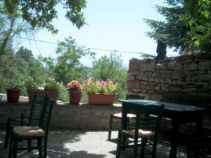
After I made the mistake to follow the left route, resulting in getting on the wrong side of the village, I returned to the junction and followed the route heading towards Kipoi, Leptokarya etc. A while later (less than 1km) I reached the sign for Koukouli. Through a really beautiful route (2-3 km) I reached the central square of the village. I met some workers constructing a stone wall. I parked my motorcycle on a shadowy place and climb to the square where there was a small cafeteria, under the shadow of a huge plan-tree.
I found 5-6 people there sitting and drinking beers. One of them came to me, making me to think that he was the responsible of the cafeteria. The real surprise came out when I asked for a cold frappe… The previous employee had left and the cafeteria had been opened by some people from the Koukouliotis Brotherhood, only to assist the workers. The result of this was to make the frappe by myself! Coffee though had no value considering the relaxing this place was offering …
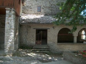
From the small discussion I’ve made with Mr. Kostas, I learnt that Koukouli Village is numbering less than 10 permanent residents. Tourists were visiting the village at the mid-August season. Nevertheless, there are some guest houses and the local brotherhood is making an effort to renovate this fantastic traditional settlement. What’s really impressive is the central building of the square, which was made by stone that had arches like I’ve never seen before. It’s really impressive and a shame at the same time, because it’s not considered by tourists and even Greeks as an impressive sightseeing. “The biggest percentages of tourists visiting the village are foreigners…” Mr. Kostas said to me.
Time was almost 2:30 pm once I decided to leave the village. It’s approximately 40-45 km from Ioannina. On my way back, the same thought stuck to my mind: “…how many beautiful places really exist on Zagorochoria which I haven’t seen yet!”
Monastery of Panayia Spileotissa - Dilofo - Koukouli
Trip Details
Trips inside Epirus
Date: Sun, 24/06/2007
Epirus
Distance: 133 km
Motorcyclists: Manolis
Photographers: Manolis
Authors: Manolis
Translators: Vangelis
Map: Trip map
Photographs: Ήπειρος / Epirus - 24.07.2007

